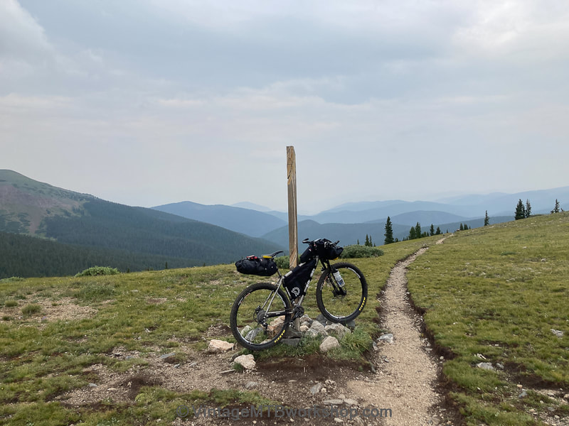
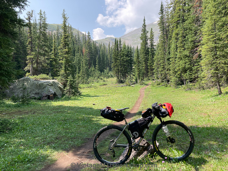
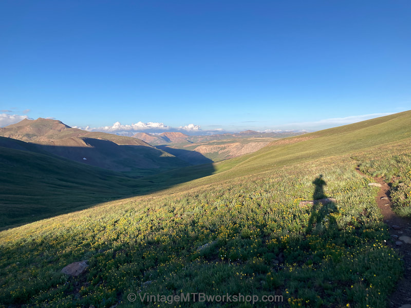
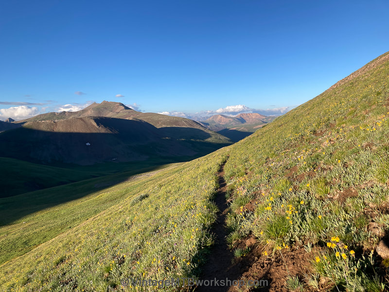
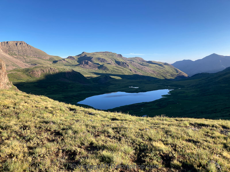
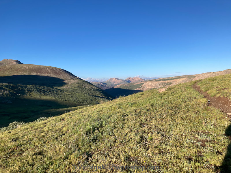
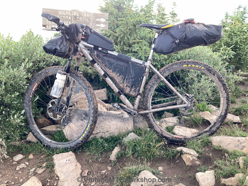
The 2021 Colorado Trail Race on the 2009 Kent Eriksen
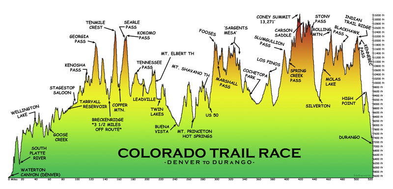
Begun in 2007, the Colorado Trail Race for mountain bikes is an unsupported, unofficial event covering a non-stop 527 mile course with about 80,000 feet of climbing through some of the most rugged terrain between Denver and Durango. Although winners are declared, there are no entry fees and no sponsors, and therefore no prizes. Being unsupported means that participants are forbidden from accepting outside assistance. Racer can make use of resources along the way such as grocery stores and accommodations available to all, but may not make personal stashes along the course. Although unexpected "trail magic" can and does happen, it cannot be planned or initiated. Participants follow a GPS map and their progress is monitored with GPS Spot Tracker devices on the website Trackleaders.com. The difficulty of the course and the unpredictable weather conditions result in a success rate that typically ranges from only 25 to 50 percent.
For the 2021 edition, the Grand Depart of 74 racers began in Durango at 4 AM on July 24th. However, the journey described here is an individual time trial effort run in the opposite direction, going from Denver to Durango. As it would turn out, the weather conditions going in this direction would get progressively worse as the days passed, with a combination of thunderstorms, hail, and rain, often occurring multiple times a day. The resulting muddy conditions made progress slow and traversing high passes dangerous.
For the 2021 edition, the Grand Depart of 74 racers began in Durango at 4 AM on July 24th. However, the journey described here is an individual time trial effort run in the opposite direction, going from Denver to Durango. As it would turn out, the weather conditions going in this direction would get progressively worse as the days passed, with a combination of thunderstorms, hail, and rain, often occurring multiple times a day. The resulting muddy conditions made progress slow and traversing high passes dangerous.
Source: https://oneofsevenproject.com/colorado-trail-guide-bikepacking/
|
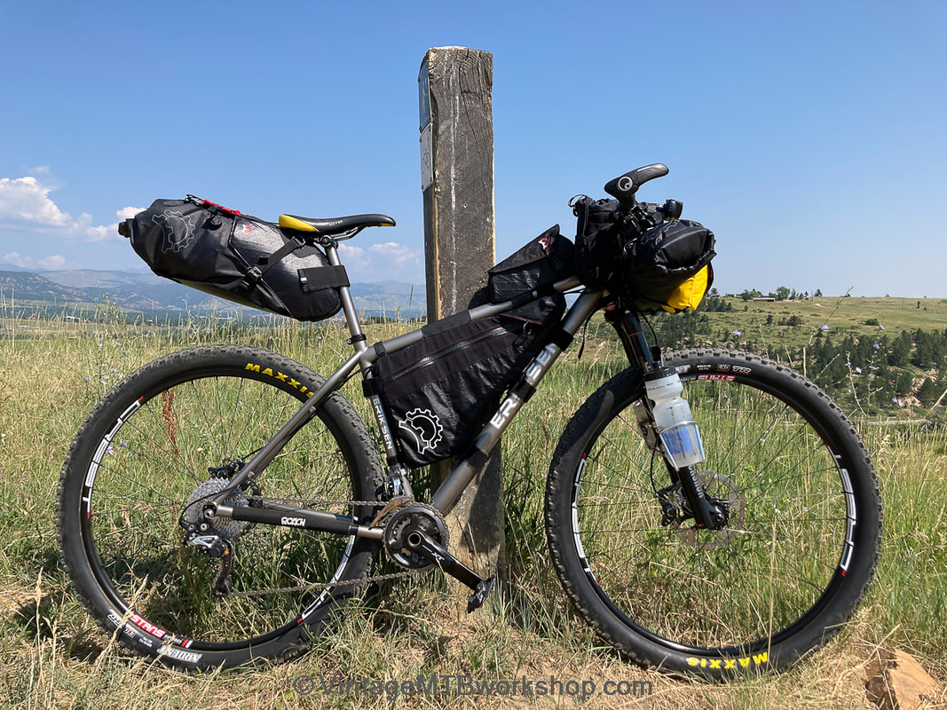
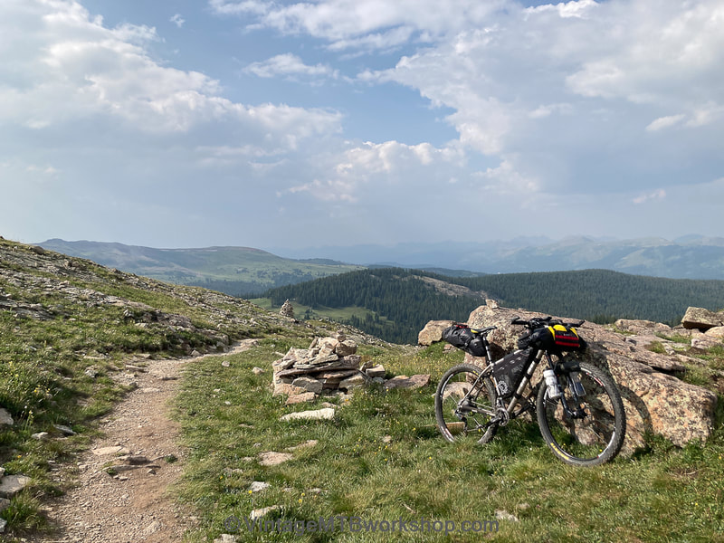
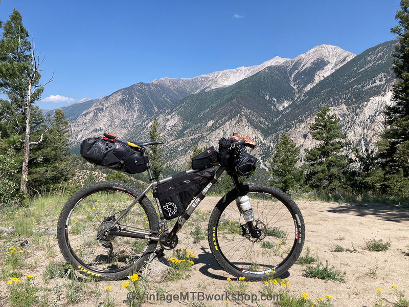
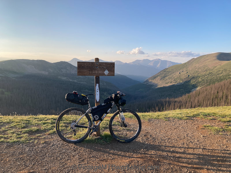
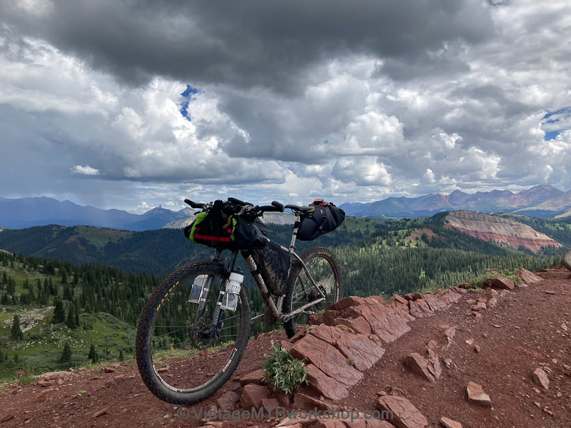
The 2009 Kent Eriksen geared to go
|
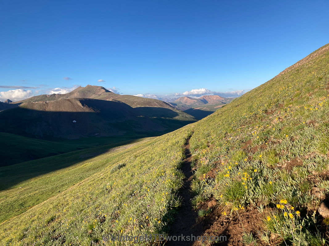
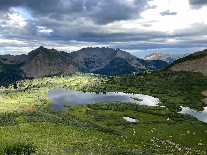
Inspiration: Cataract Ridge
|
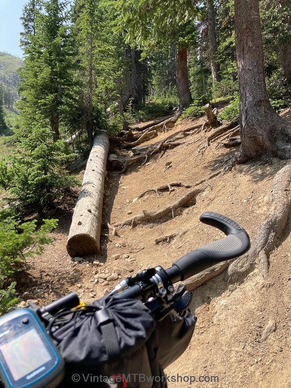
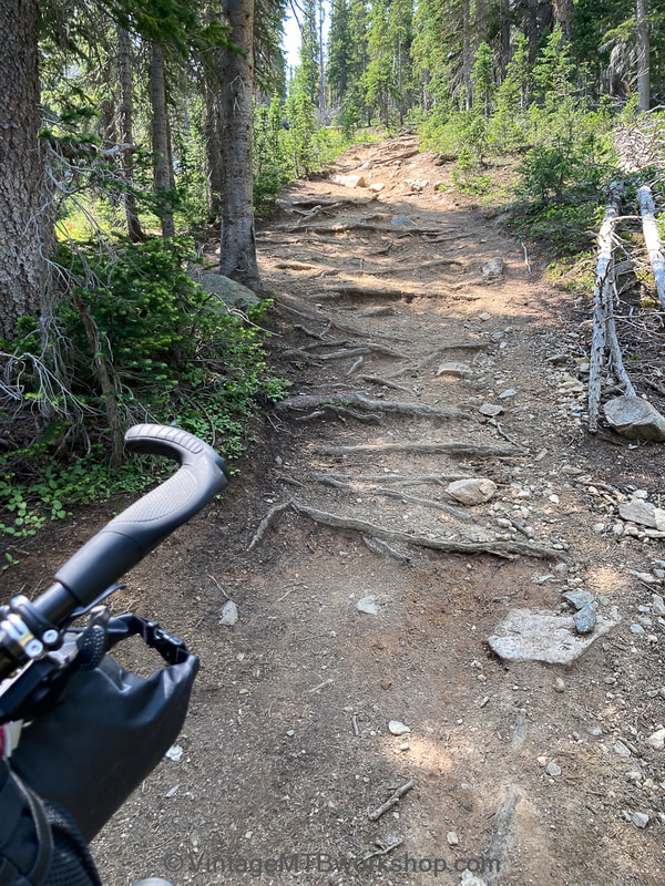
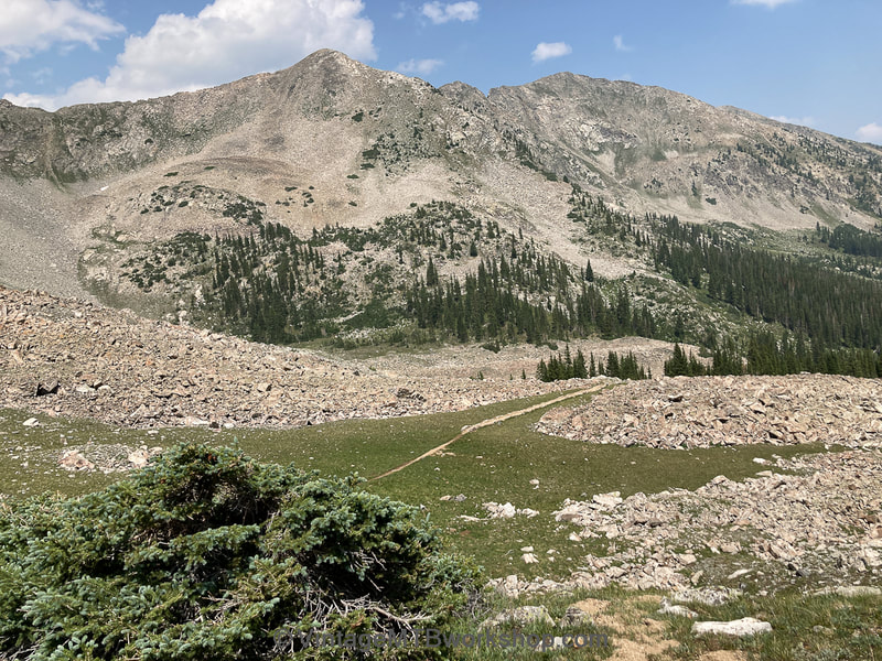
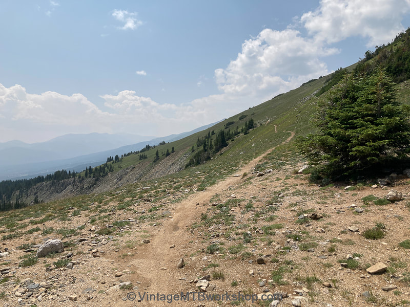
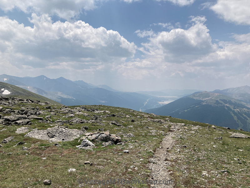
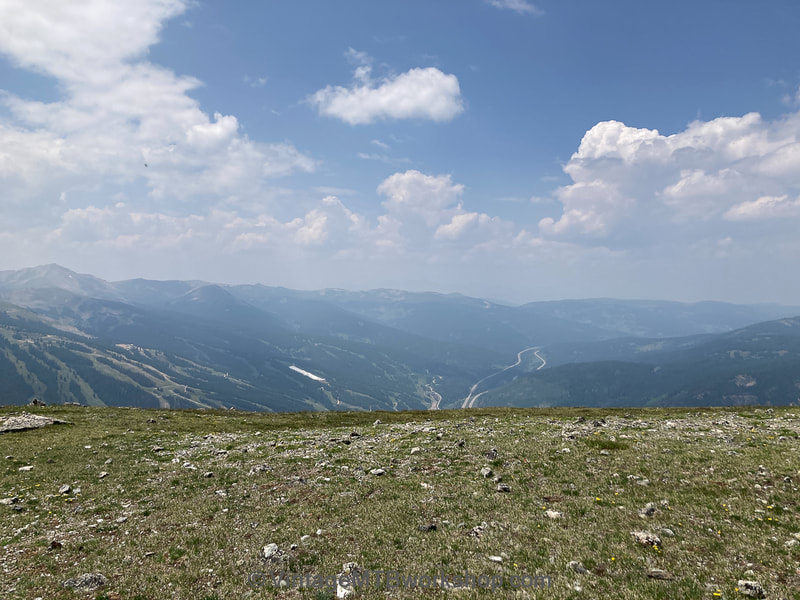
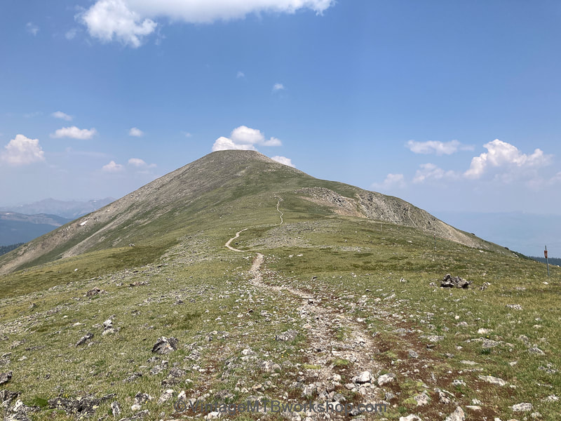
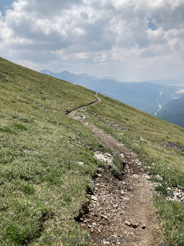
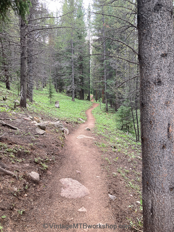
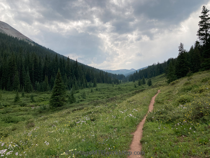
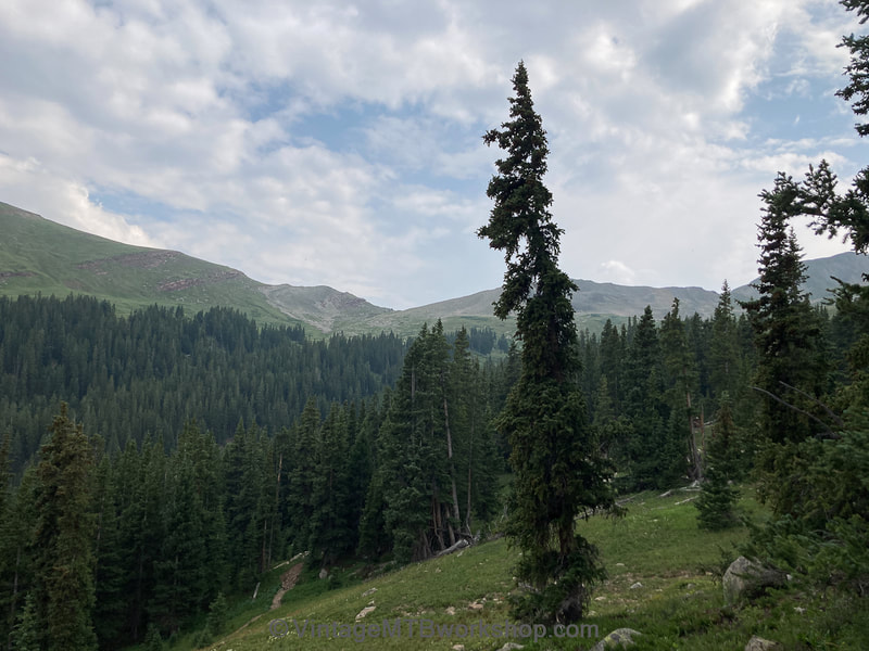
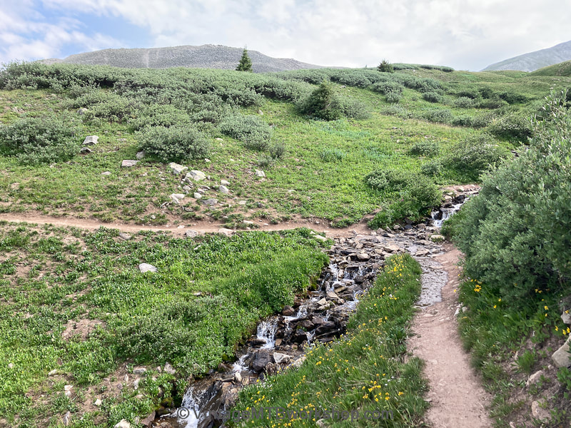
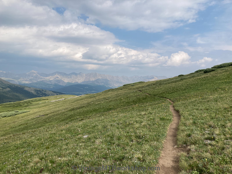
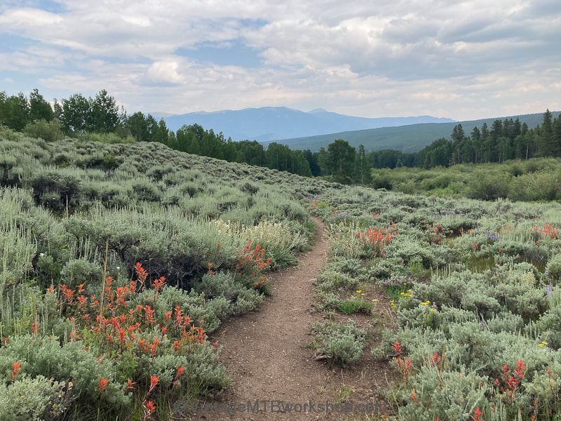
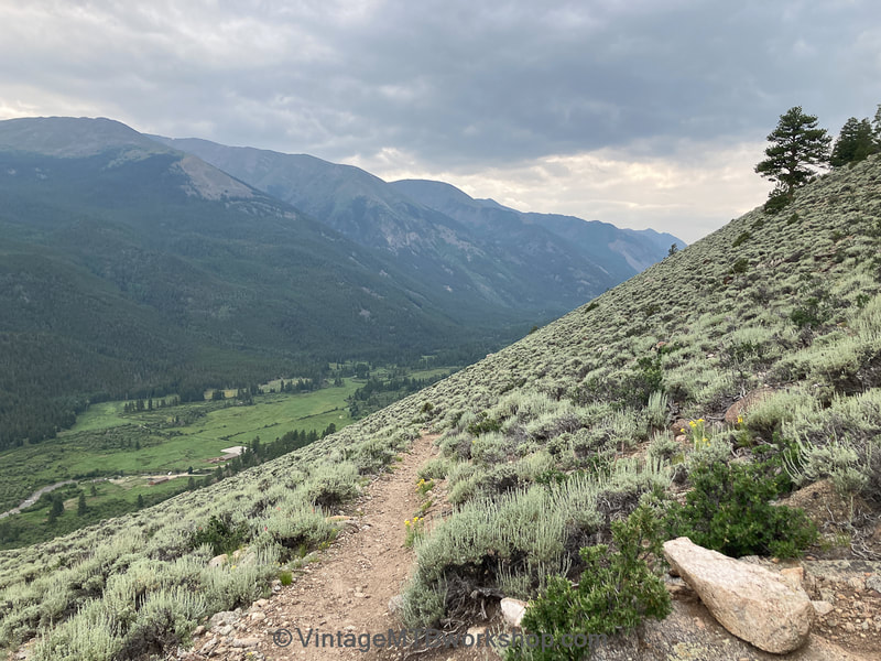
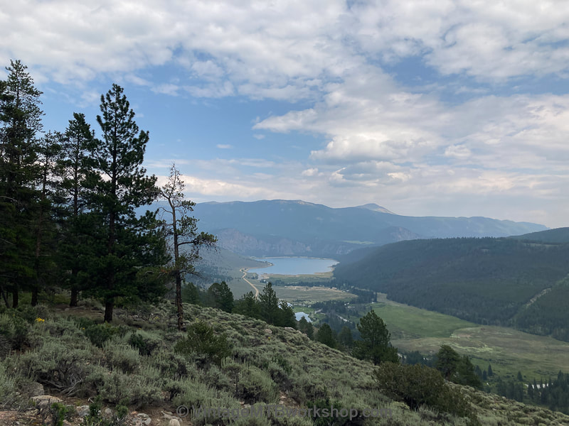
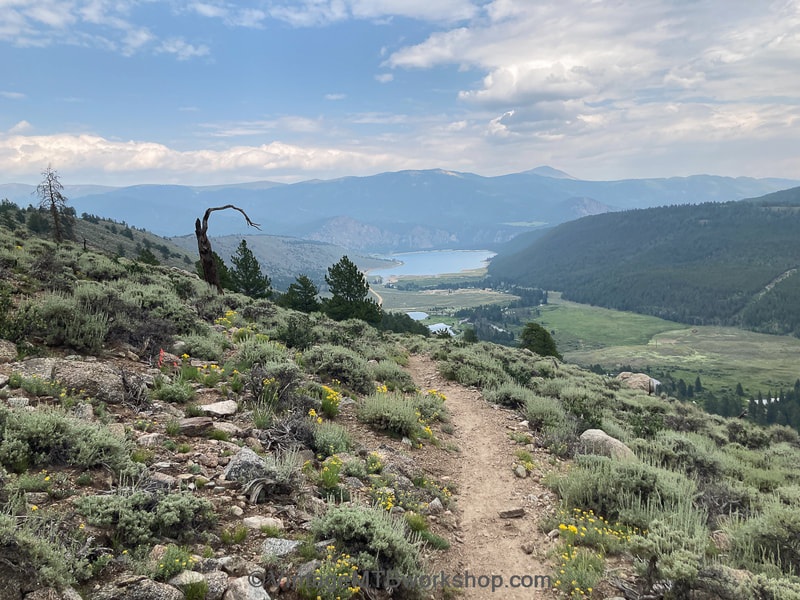
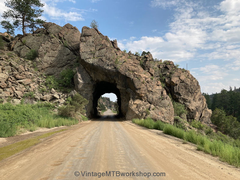
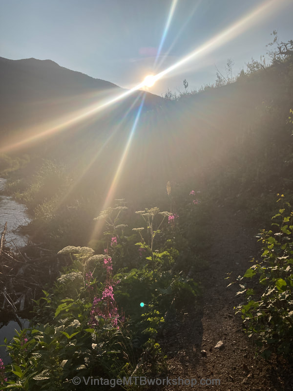
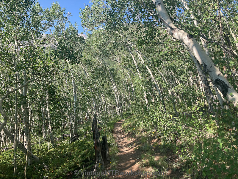
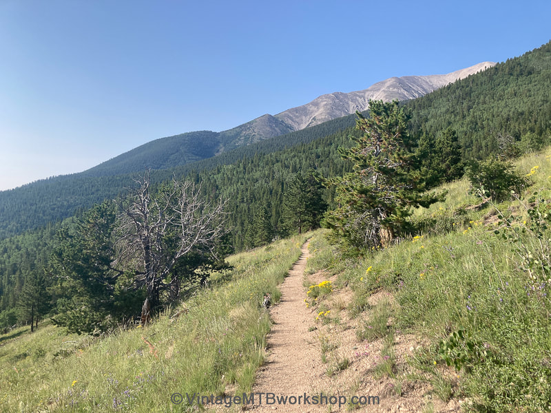
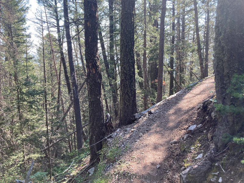
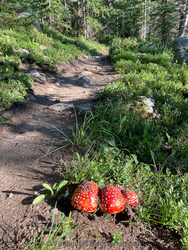
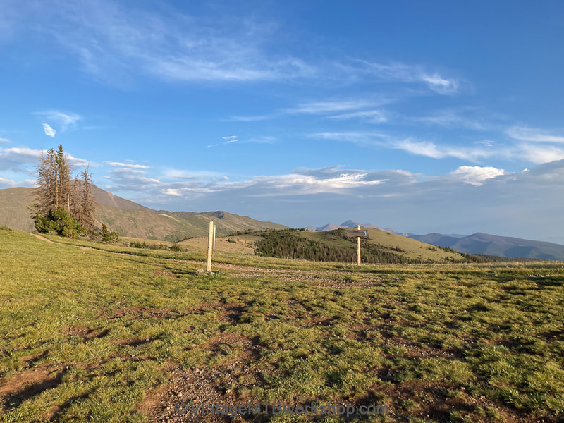
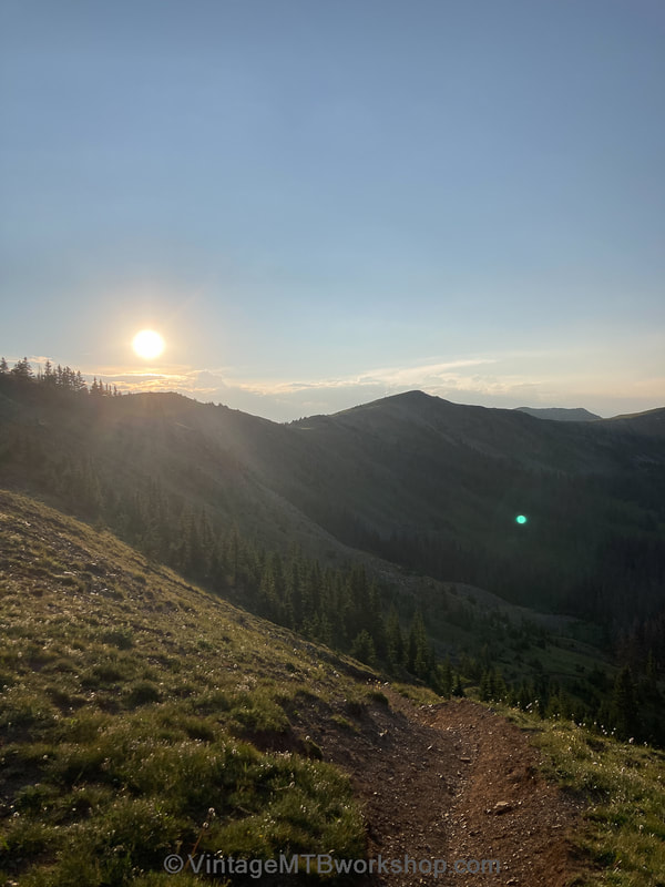
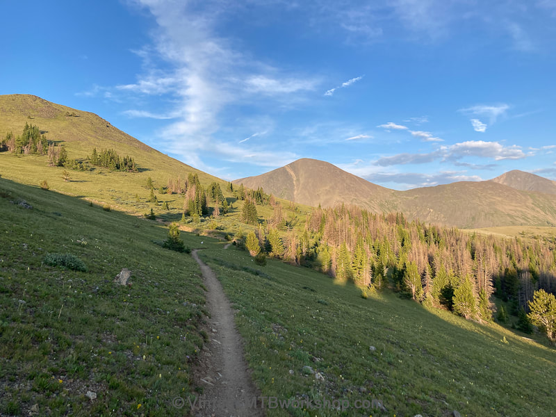
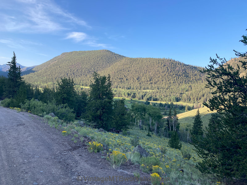
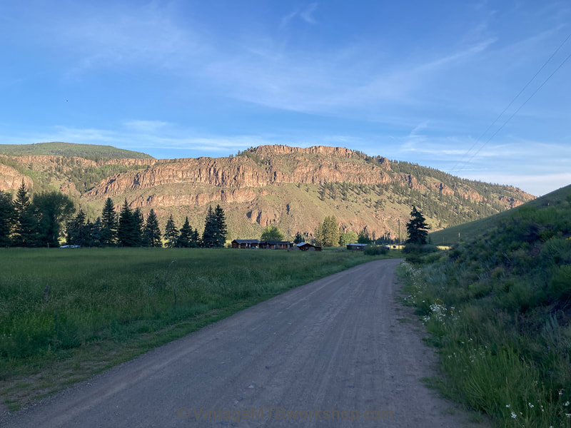
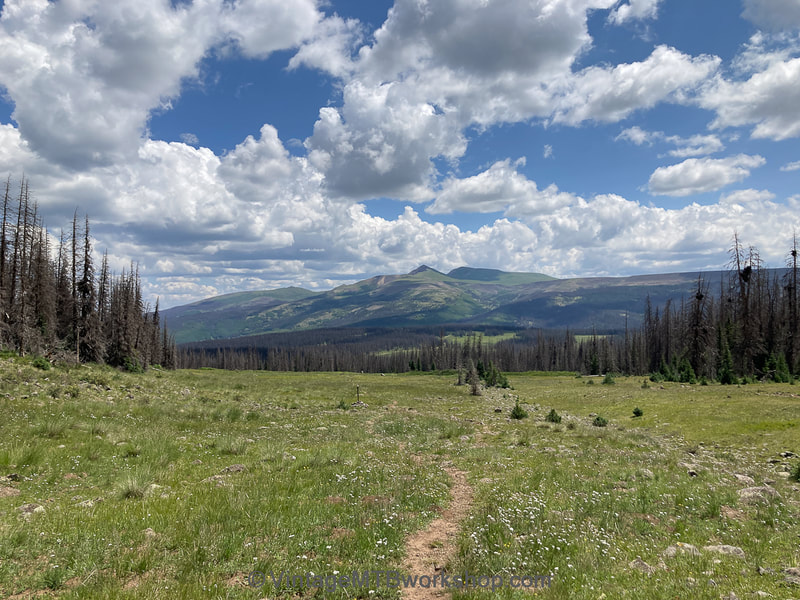
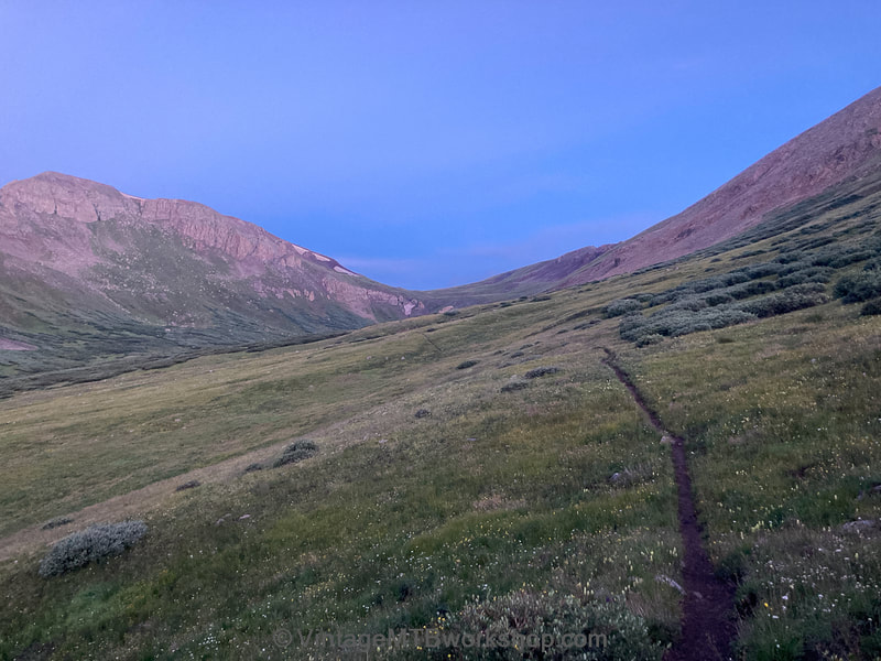
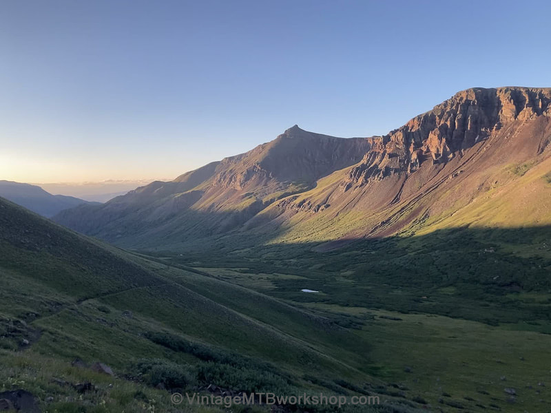
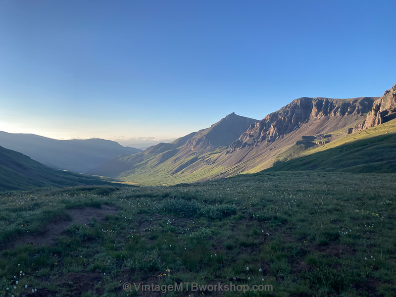
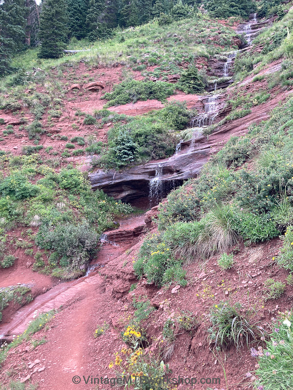
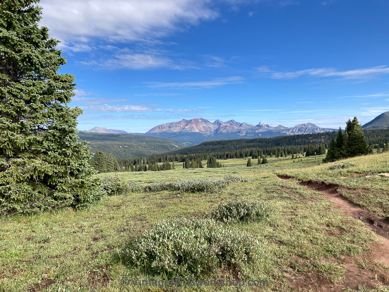
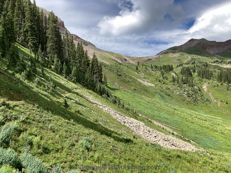
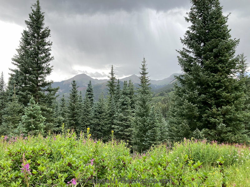
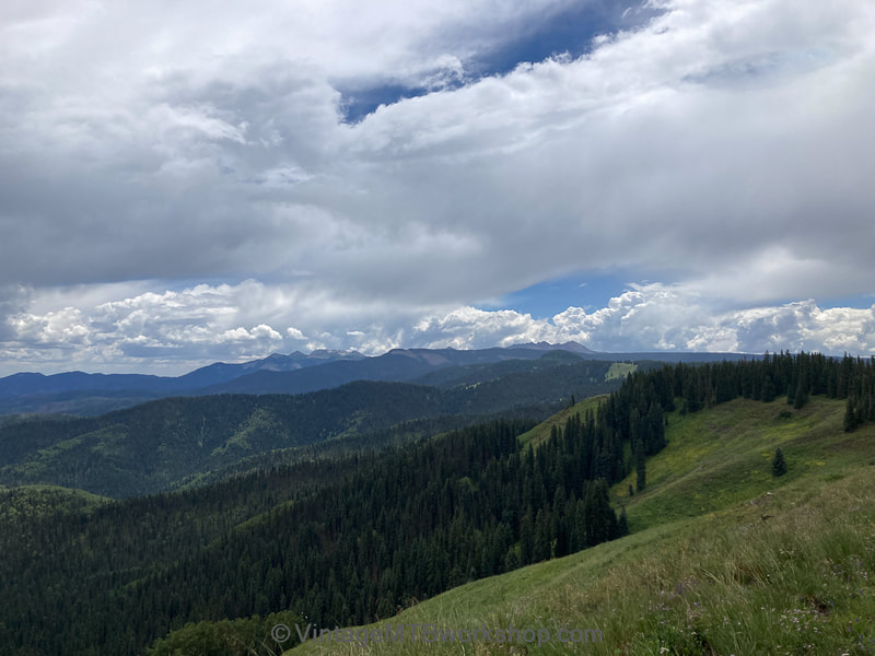
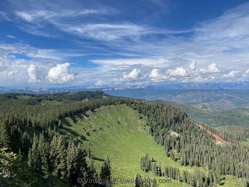
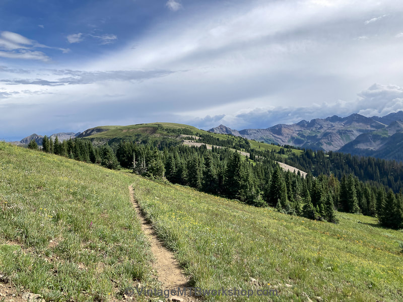
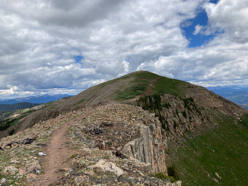
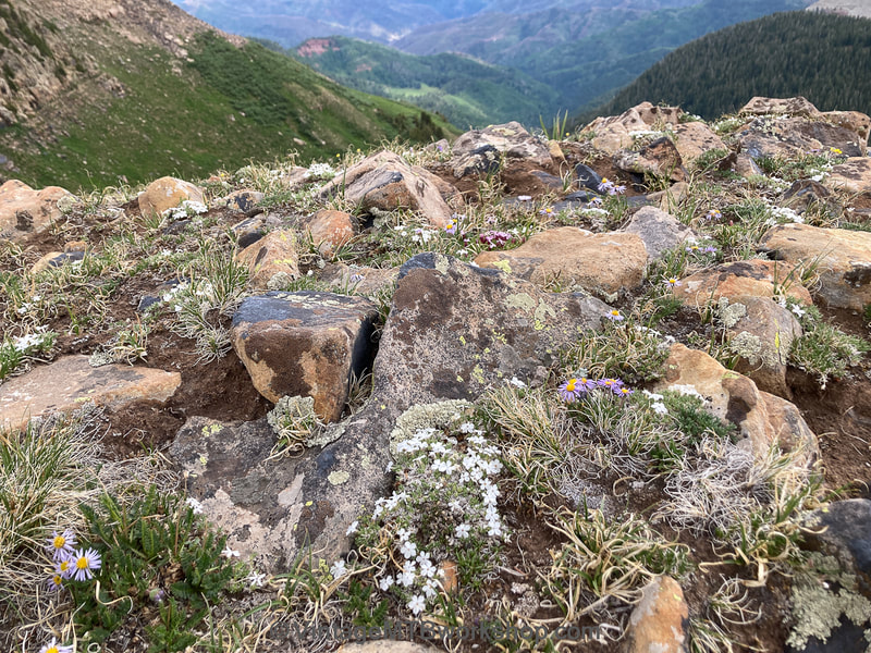
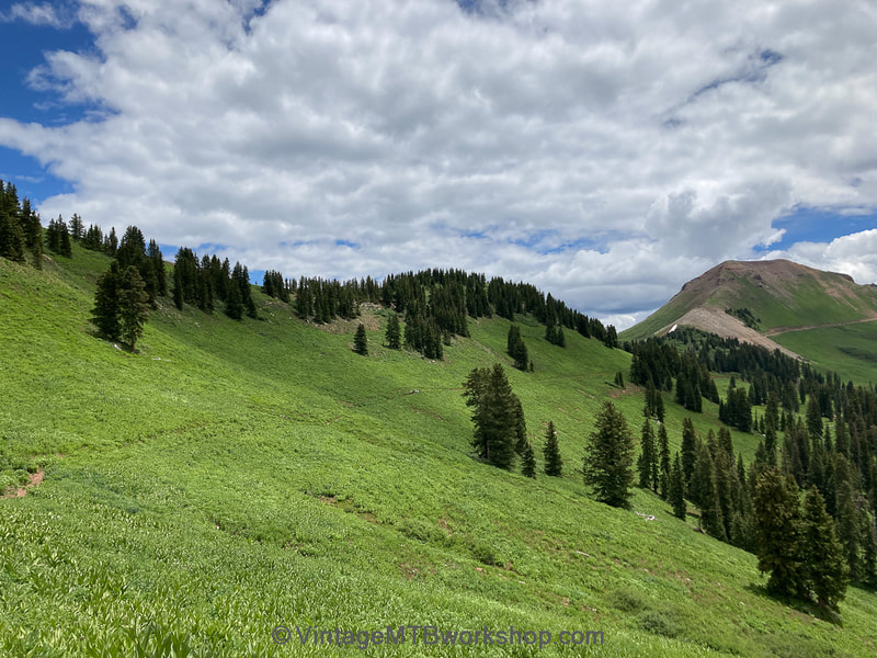
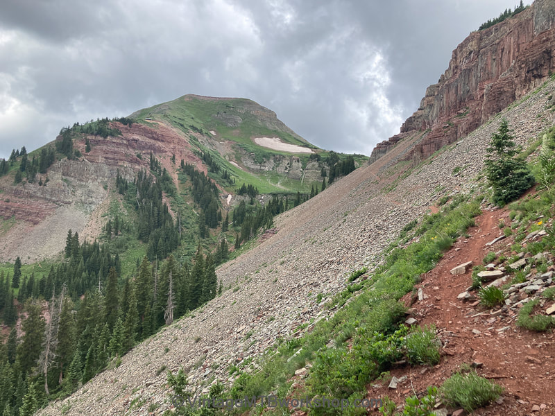
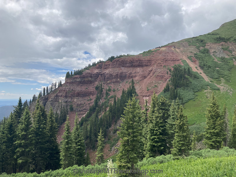
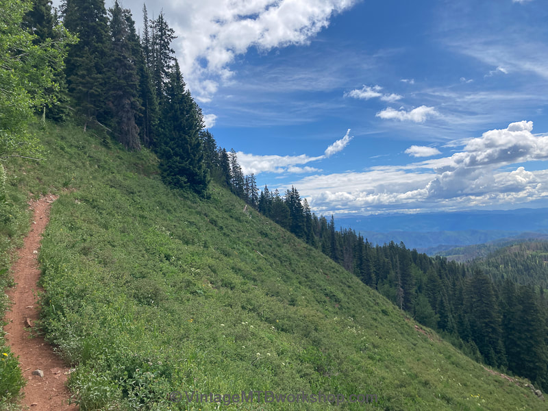
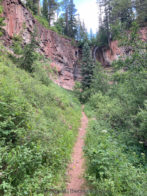
The images below are organized as the ride progressed, although some look backward at the path already traveled. Clicking on an image expands the view and reveals a caption with a brief description of the location along the route.
Waterton Canyon to Kenosha Pass (Segments 1 to 4)
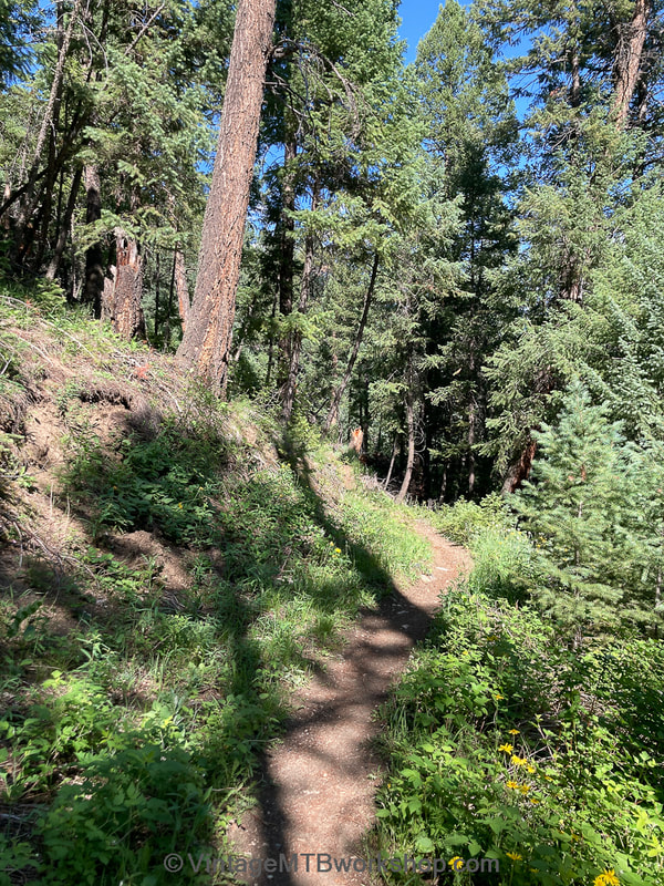
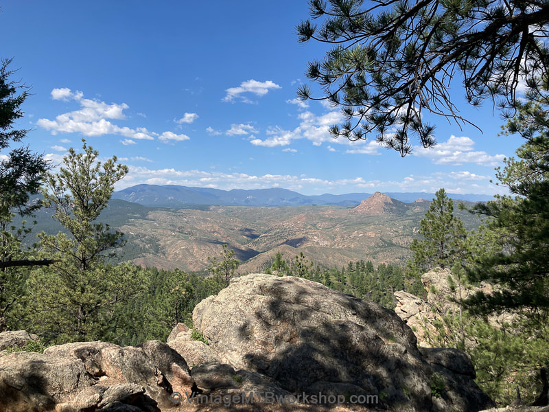
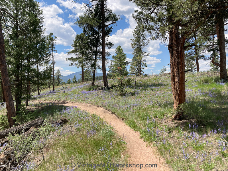
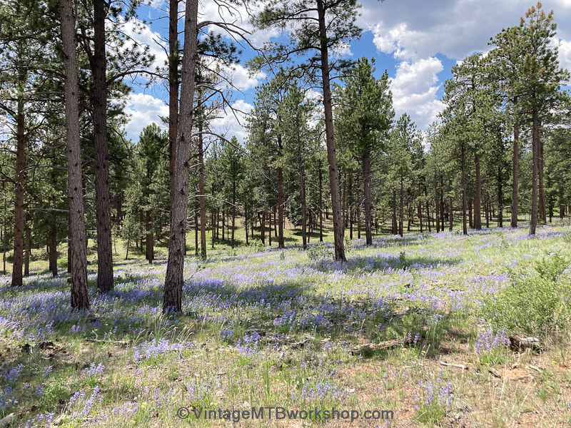
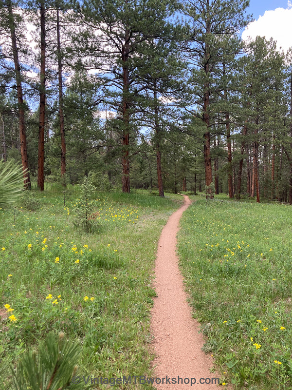
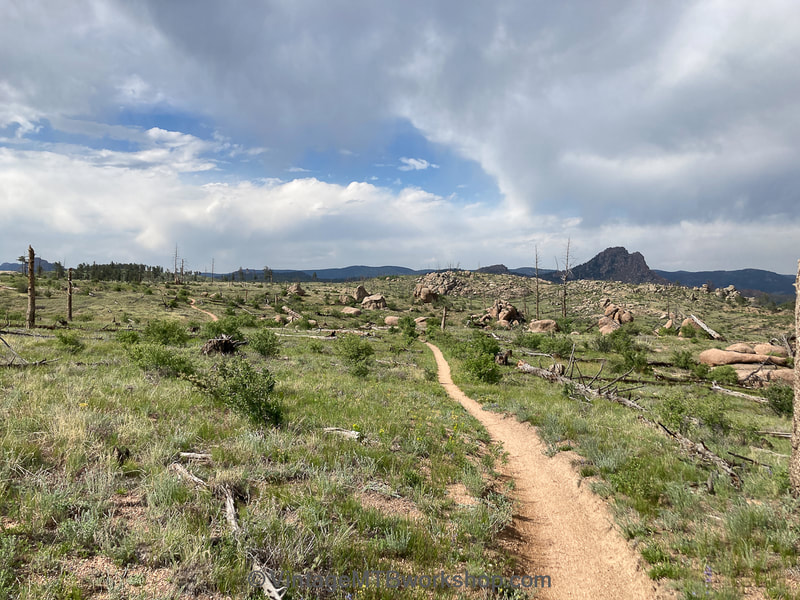
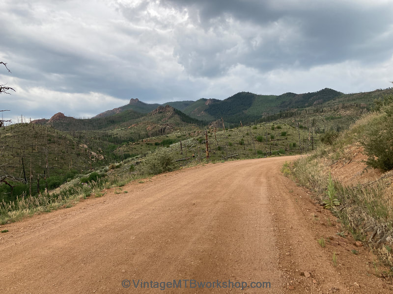
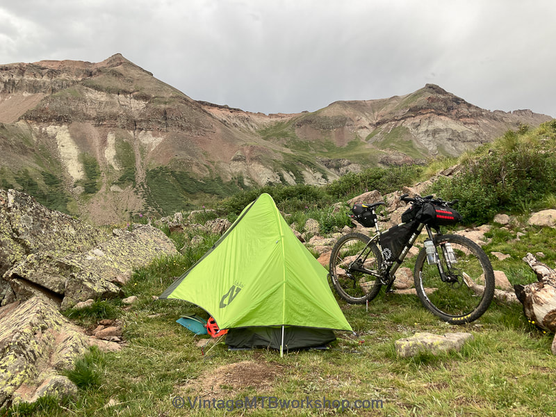
The first three segments of the Colorado Trail (CT) leaving Denver consist primarily of decomposed granite singletrack which sees heavy use from the nearby population. While the first segment is fairly lush, the second passes through the burn zone of Buffalo Creek, making it exposed and hot. On this first day I rolled through these sections fairly quickly, although I consumed 3 liters of water. The fourth segment is a 79 mile detour around the Lost Creek Wilderness, circumventing a short distance of maybe 10 miles which is not open to bikes. With 7,500 feet of climbing, the detour was grueling because of the heat, up-and-down terrain, and headwinds. Unfortunately, this day ended just short of Kenosha Pass when the skies opened up and I got completely soaked. Spending the night in a slippery wet tent on an incline, I hardly had any interest in eating and the thought of completing the remaining 400 plus miles seemed out of reach.
Kenosha Pass to Copper Mountain (Segments 5 to 7)
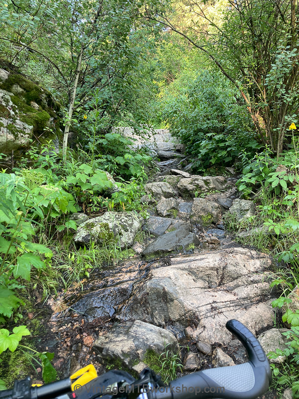
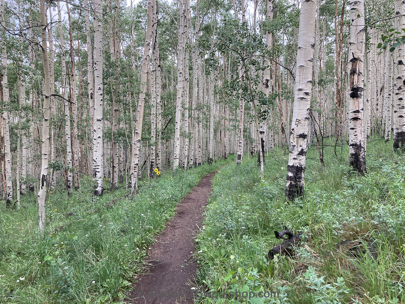
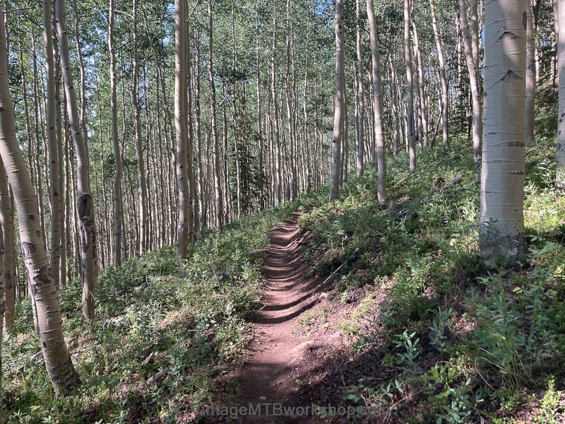
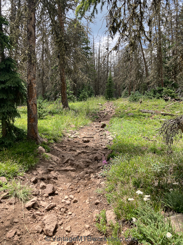
Although the rain had stopped by the morning of the second day, everything was extremely wet, including me and all of my gear. Packing and getting rolling was a slow process. My energy level was also very low from not eating sufficiently the night before, but riding through the aspens of Kenosha Pass and reaching the summit of Georgia Pass was inspiring. Toward the end of the day, while riding the chunky terrain outside Breckenridge, my rear wheel struck a sharp rock and broke two spokes, one of which pierced the rim tape resulting in a sudden flat. My day was clearly done, so I decided to set up camp early, dry out, eat sufficiently, get some good rest, and assess the situation in the morning. While I had been disappointed before that my slower pace might cause me not to finish in time, there was even greater disappointment that this mechanical problem could be my end. However, the next day I regrouped and dropped down to the town of Frisco early in the morning. I fixed up my wheel at Rebel Sports as it was opening, ordered breakfast on-the-go, and went to a gas station to load up on calories. It was time to rely on junk food to power this journey: greasy breakfast burritos, Chips-Ahoy, giant cookies, and massive Snickers candy bars. Delayed by half a day, I managed to push the bike over the brutal Ten Mile Range with sections of trail that incline at 45 degrees. Take two steps, pause, take two steps, pause.
Copper Mountain to Tennessee Pass (Segment 8)
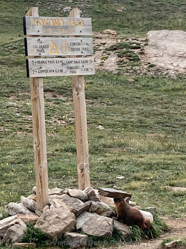
Continuing on the second day with seemingly good weather, I managed to pedal up to Searle Pass and traverse to Kokomo Pass. However, violent thunderstorms were in full force on the surrounding mountains so I made a speedy descent to Camp Hale. Once in the valley, I felt some rain drops so I immediately started to look for a place to camp before the skies opened up. Sure enough, about 30 minutes after my tent was up heavy rains came, but I was inside, dry, and fueling up on junk food.
Tennessee Pass to Buena Vista (Segments 9 to 12)
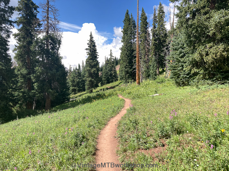
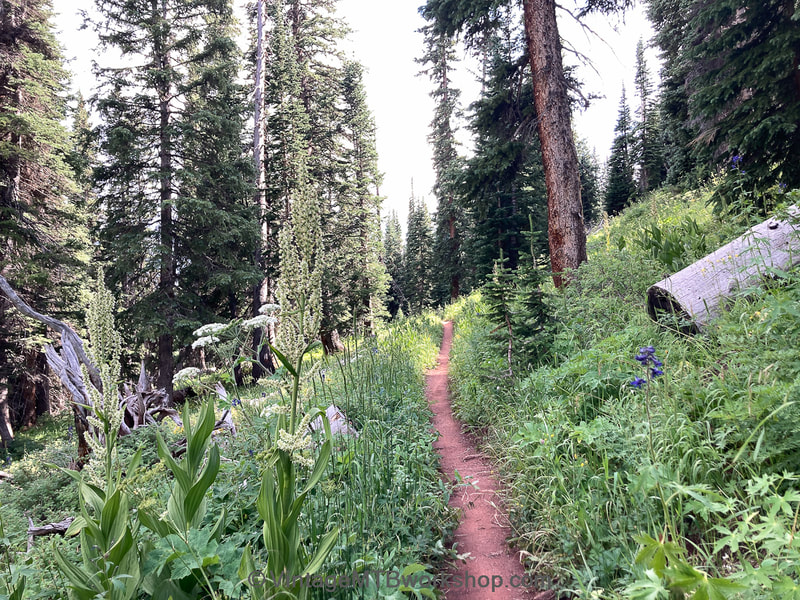
The start of the third day was very wet and riding on roots was treacherous, but the sun was up and the day looked promising. As I went, I noticed many great campsites and water sources, serving as one of many reminders that knowledge of the trail is a huge advantage in doing an event like this with efficiency. Although there were a couple of road detours to avoid the Holy Cross and Collegiate Peaks Wilderness segments, the open singletrack sections were glorious and worth riding on their own. The approach to Buena Vista on Highway 24 and the old railroad grade was tempered by headwinds. Arriving in town after two very wet nights, getting a hotel room for the night to clean up and regroup sounded like a good idea. Coming off the CT, you realize how hospitable the trail is with free water and places to camp, whereas in town you might be treated as homeless and told to move on.
Buena Vista to US 50 (Segments 13 and 14)
Buena Vista is an important resupply point with little to no services for the next 180 miles, so loading up on 10,000 or more calories of junk food is key. Again, gas stations are the best way to do this. Fully loaded and refreshed, I headed out on beautiful sections of trail below Mt. Princeton and Mt. Shavano. About a half mile up from the base of Mt. Princeton I noticed that I had lost the Black Mountain Cycles water bottle off the fork cage, but with a tip from a passing hiker I would confidently return back to the base to fetch it. Water storage capacity would be key in the drier sections of the CT.
US 50 to Marshall Pass (Segment 15)
Reaching US Highway 50 was a personal milestone and the beginning of a commitment to go the full distance. What followed was the formidable 11 mile climb up Fooses Creek, which gets progressively steeper. The final several hundred feet are a loose push which involves grabbing the bottom of the seatpost and looking below the axles to steer the bike around obstacles. It was that steep. Arriving at 7:30 PM, the light of the setting sun cast golden light on the landscape and the descent toward Marshall Pass was pure magic. By 8:30 it was getting really dark and the need to find a campsite was becoming urgent. At some point, I spotted a nice flat spot under trees to the right and slowed and heard trickling water. Time to stop. This was the spot, a dry place to camp for once.
Marshall Pass to Cochetopa Park (Segments 16 and 17)
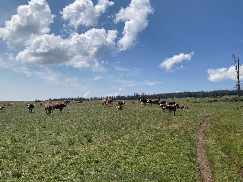
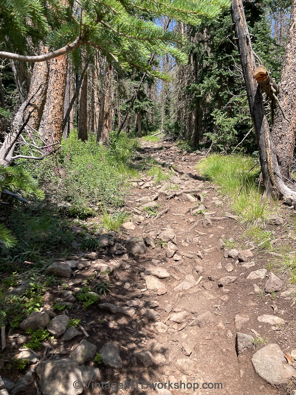
Anyone familiar with the CT knows that Segment 16 involves the dreaded Sargent's Mesa, and that traversing it will consume the better part of a day. Large portions of it are rutted-up motorcycle trail across very rocky terrain, going both up, down, and across. It really doesn't matter which, you will be going slow and likely pushing your bike much of the time. Even worse, there are no water sources and many of the trees have died. The topography is a series of steep hills which you must go over the top of rather than around the side. Reaching Cochetopa Park, I was faced with a vast and arid meadow in Saguache county with rain now falling on nearby Cochetopa Dome. I decided to hastily camp in the middle of nowhere only to be met by swarms of mosquitos. I was happy I had a tent and not a tarp and dove in. I was disappointed to be calling the day early at 6 PM to stay dry. Riding at night just didn't seem to be an option this year for a first-timer.
Cochetopa Park to Carson Saddle (Segments 18 to 22)
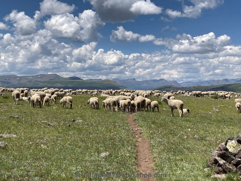
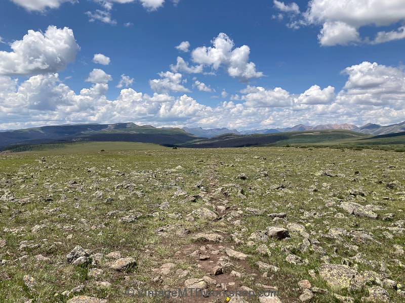
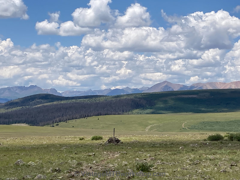
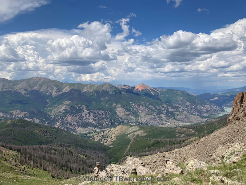
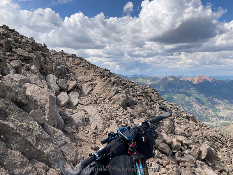
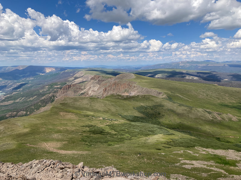
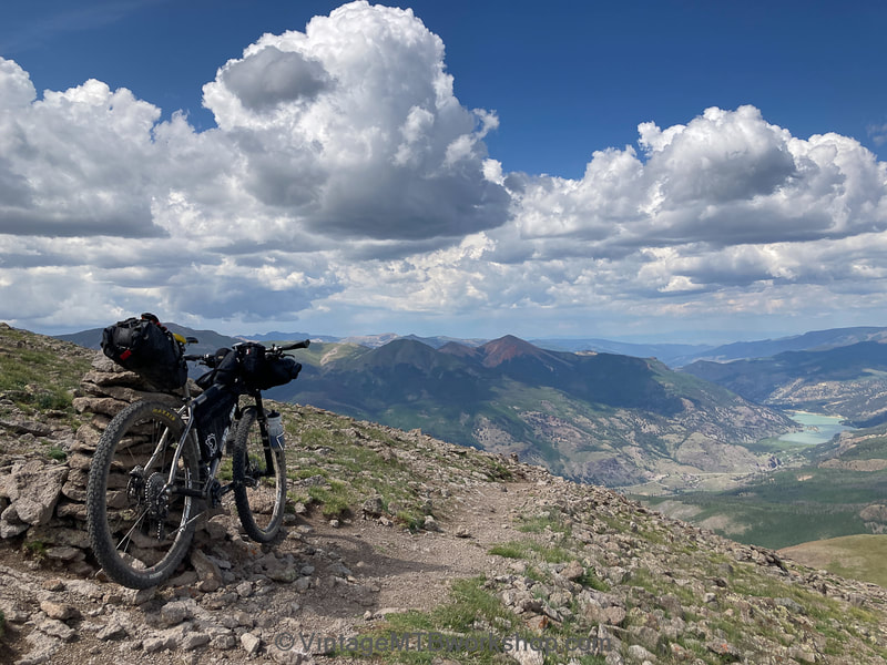
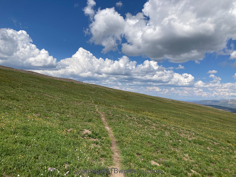
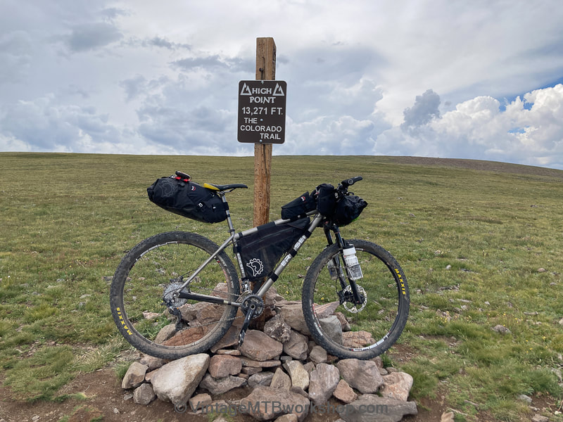
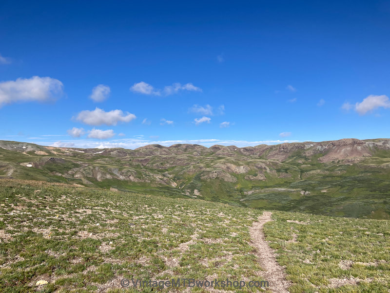
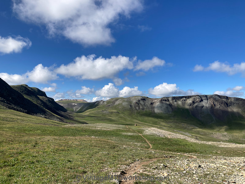
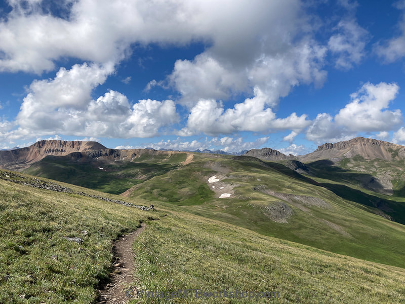
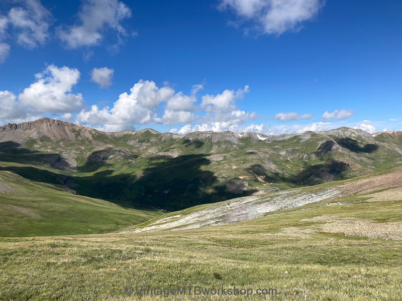
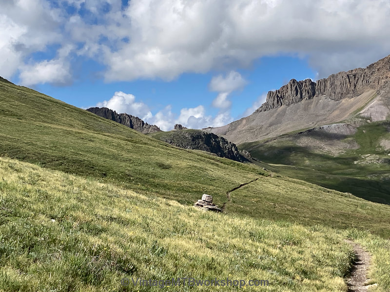
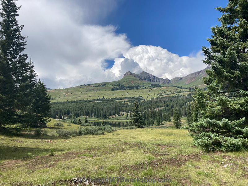
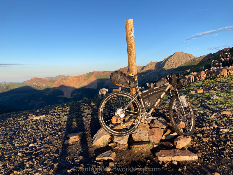
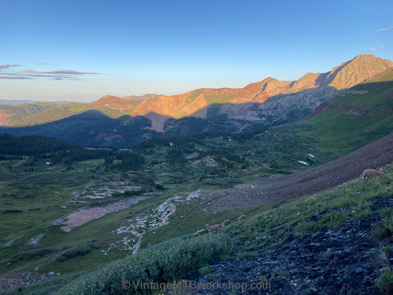
To make up for lost time I resolved to start early on day 7, rolling by 3:45 AM. The detour of the La Garita Wilderness turned out be beautiful in the early morning, with the smell of pinion pines on Los Pinos Pass and the sound of rushing water while going up Cebolla Creek to Slumgullion Pass. Reaching Dry Creek Pass and climbing on to Cataract Ridge was pure bliss and the beginning of miles and miles of high alpine riding at 12,000 feet. Just me, the trail...and hundreds and hundreds of sheep! The climbs can involve a lot of pushing over very rocky terrain, but the scenery is out of this world with spectacular views in every direction. The Coney Summit at 13,321 feet would mark the high point of the CT, although it was just a featureless grassy slope. The end goal for the day was camping out just below the Carson Saddle, which felt appropriate after a long day of 70 miles. A couple of hours after setting up camp the skies opened up to the most violent thunder and lightening storm of the journey. The whole earth shook but this time I was ready for it.
Carson Saddle to Silverton (Segments 23 and 24)
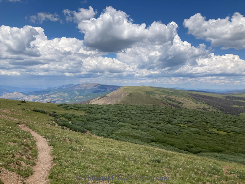
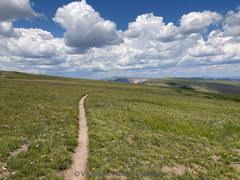
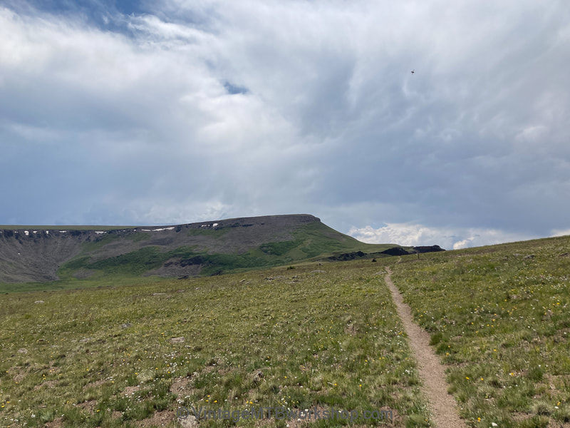
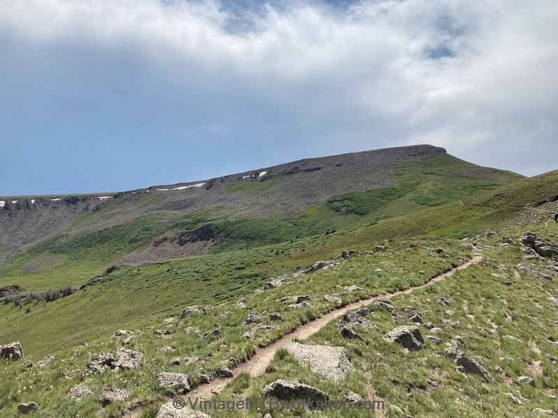
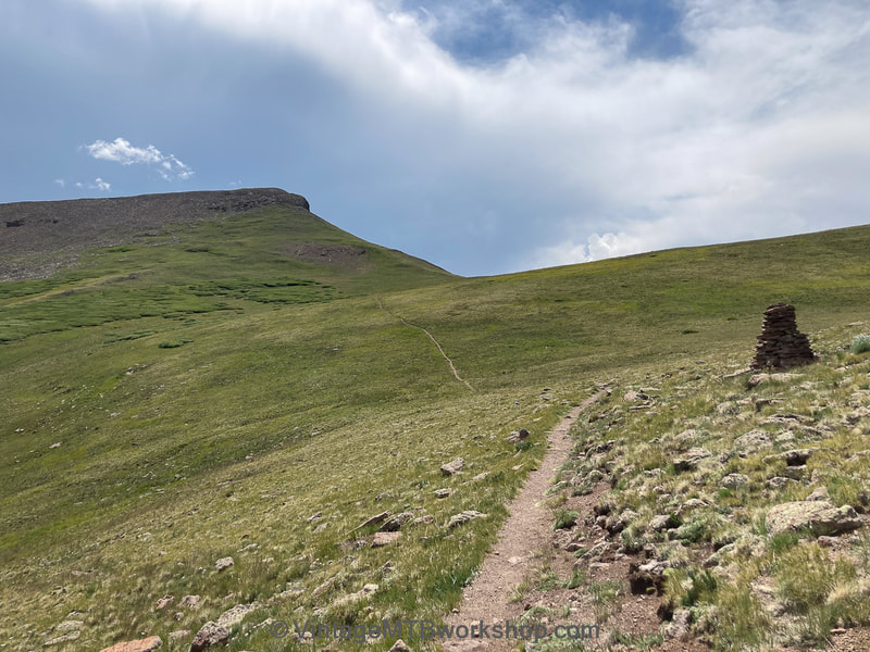
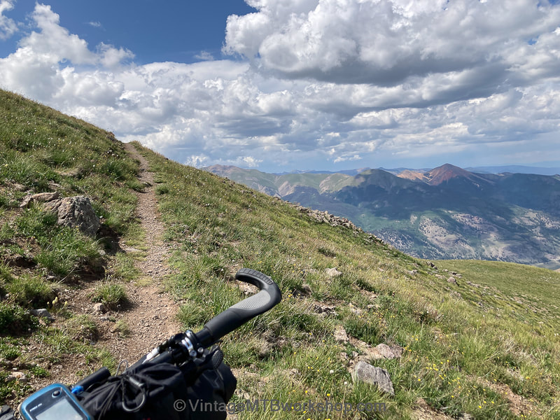
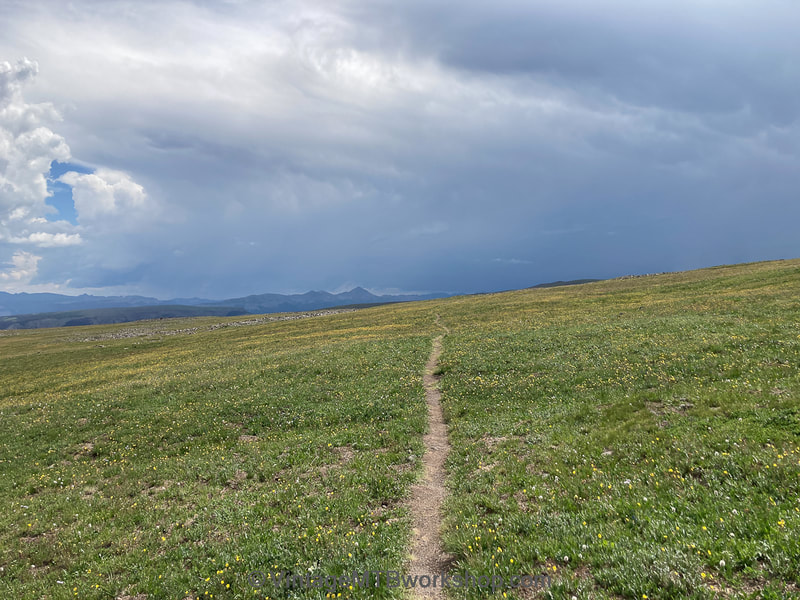
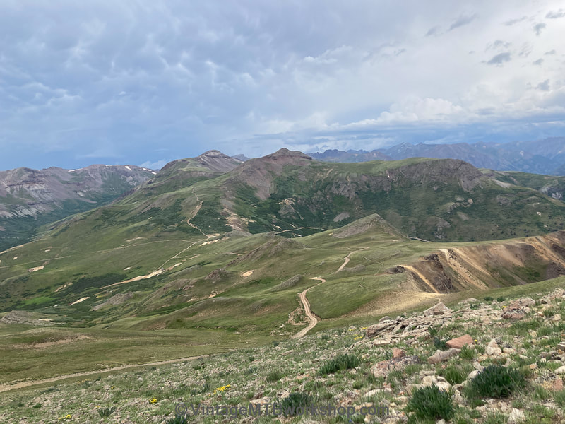
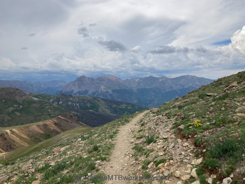
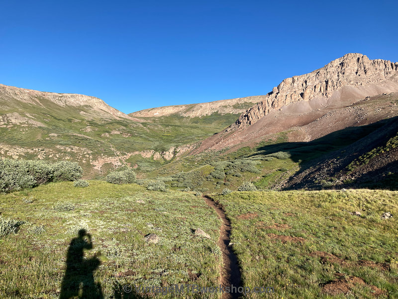
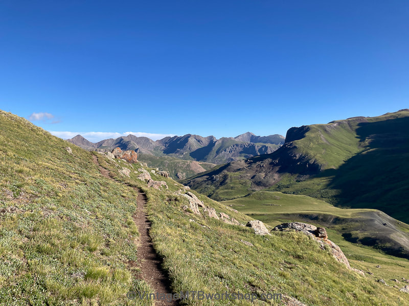
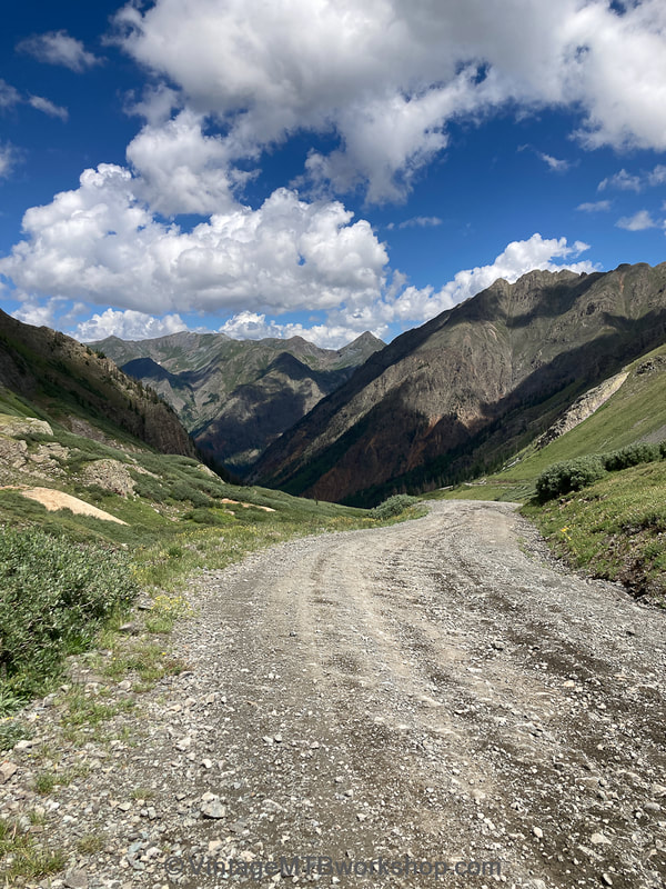
Getting an early start the next morning, I couldn't find my riding socks. I searched and searched and concluded a pika had run off with them in the night to line their nest. This next section of Cataract Ridge in the early morning was probably the most memorable of the entire trip. There is nothing out there except this beautiful landscape and a narrow trail. It just goes and goes and goes. The dreamscape abruptly ends with the jeep and ATV traffic of Stoney Pass outside Silverton while hikers continue on through the Weminuche Wilderness.
Silverton to Hotel Draw (Segments 25 and 26)
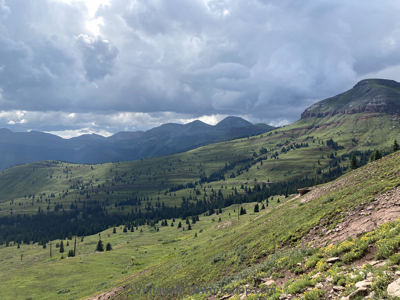
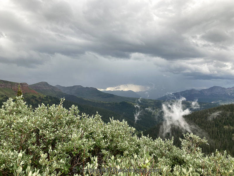
Leaving Silverton there are about 86 miles of demanding trail left to Durango. Finishing this event was seeming more and more likely, yet the weather was becoming more and more unpredictable. The goal for the remainder of day 8 was to cut into as much of the remaining distance as possible, at least going up and over Rolling Pass. Despite the beautiful surroundings I would fall short and the day would turn into a complete struggle. At 3 PM the skies opened up to a hail storm and I ducked for cover under a tree. By 5 PM I was above tree line when a second hail storm hit. Crouched between a big rock and the bike, I threw my tent rain fly over my head for protection. Trudging on and looking over my shoulder at the roiling thunderstorms in Silverton, I was now riding on a trail that resembled a stream with 2 to 4 inches of water. I could see the clouds coming my way yet the Rolling Pass summit seemed so close. About 500 feet below the summit, the thunderstorm for the night was beginning to form rapidly so I set up my tent right there, at 12,100 feet, and prayed there wouldn't be lightening. It got very wet but there wasn't any lightening danger. I awoke early the next morning to get over Rolling Pass only to be met by and fight off an aggressive sheep dog before dropping down into a saturated Cascade Creek. To make it to Durango from this point I needed to cross two exposed sections: Blackhawk Pass and Indian Trail Ridge (ITR). I made it over Blackhawk by 11:30 AM, and by noon Blackhawk was getting drenched by a thunderstorm as I looked back. My plan was to use the remainder of the rainy period to traverse over to Indian Trail Ridge with the hope that it might clear by the time I made the 20 mile distance.
Hotel Draw to Durango (Segments 27 and 28)
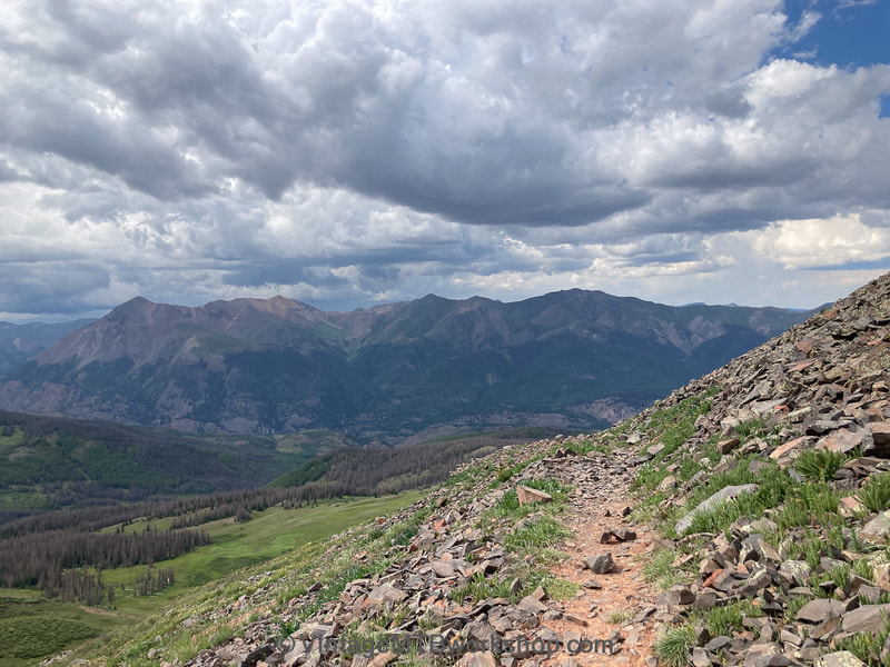
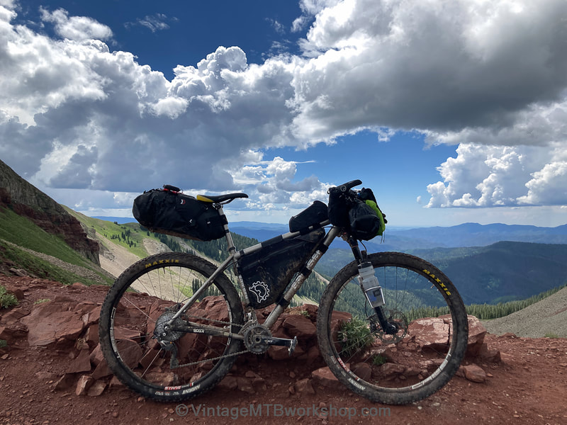
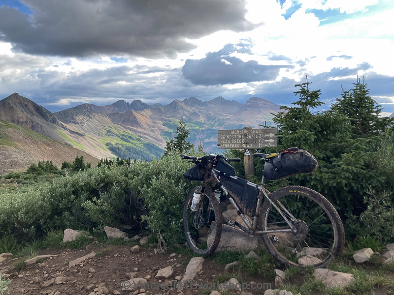
At times I could see off in the distance that ITR was clearing up. Could I make it there in time before the evening thunderstorms inevitably set in? I was on the ridge and all was looking good until I noticed shadows in the valleys below. More dark clouds forming? No! The hills along ITR were getting steeper and rockier as I went and I started to panic that I wouldn't get off in time. Across the ridge, I would only pause long enough to take a photo with the bike and the dramatic skies before dropping down to Taylor Lake. I knew I was safe at this point but I still had 22 miles and 6,500 feet of technical descending to go while the sun was setting. About this time I encountered a hiker on the trail that asked if I was a bikepacker, as opposed to a day rider. I told him it had been a long, long journey. He said he was handing out "trail magic" and asked if I would like a Coca-Cola. Sugar and caffeine? It was a wonderful, unexpected event and truly "magic." The photos below showing the descent off Kennebec Pass are actually from a pre-ride 5 weeks prior in daylight. I would end up descending in a rainstorm at night, progressively going slower and slower as I got more and more fatigued. Having seen the trail before was a huge advantage, and by midnight I had wobbled my way to Junction Creek Trailhead to be met by family. The long journey was over. More than proud of finishing, I felt extremely lucky and grateful.
Some Closing Thoughts
The Colorado Trail Race and the people who attempt it have had my upmost respect for the longest time, from the hotshots who complete it in a record time of 4 days to the most dedicated that take 2 weeks or more. All who attempt it are winners. All who succeed are winners. I needed to find out if I could do it too, and the answer is yes. But...
To truly race this event requires a tremendous amount of knowledge. Of the course: the terrain, the time required for segments, the water sources, the places to camp, the pit toilets, the weather patterns, and the food sources. Of yourself: your physical strength, your ability to calm down and sleep under all circumstances, your ability to consume high calories, your ability to overcome mental doubts, your ability to ride at night, your ability to keep moving forward regardless, and your ability to adapt to any and all circumstances.
This event requires physical strength to keep going, regardless, but more than anything it requires mental strength. Repeating the mantra that every additional mile is a bigger win will eventually get you to the finish. There will be highs and there will be lows, guaranteed.
Taking care of yourself takes time: sleeping, eating, filtering water, setting up camp, personal hygiene, changing clothes. The fastest racers will want to skip most of this to go farther faster, but you have to be comfortable with the consequences.
The CT crosses spectacular terrain with a huge amount of premium singletrack, but there are sections I simply wouldn't want to ride again unless I have to. Cherry picking the CT has a lot of appeal as does backpacking the Wilderness sections.
Doing an individual time trial in the opposite direction made a lot of sense for me to experience this without competitive pressure, but also hold myself accountable as being part of an event with people watching on a website. I also took the time to take photos which will be cherished for years to come.
Inevitably you lose weight during the event, about a pound per day, because you simply can't consume enough calories while pedaling.
Riding alone there is plenty of time for your own thoughts, but the thoughts are selfish as you focus solely on your continued wellbeing. You are in your own world most of the time.
When the journey was done I wasn't tired of riding my bike, but I was tired of encountering terrain that had to be pushed or couldn't be ridden with a bike laden with extra weight. On the other hand, being self-sufficient and able to go anywhere on a bike is a wonderful feeling.
